
After about two years of doing aerial photography, I have decided that I will share one of my little secrets for finding a location to shoot. A lot of people tell me that my aerials are really cool, but not too many ask how I find these places. It is funny to answer and say I use Google Maps, but honestly that is the truth and it's the one and only thing I really use when looking for something new to photograph with my drone.
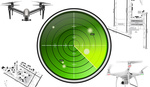
It all started in the summer of 2016. I had my drone and wanted to create more content with it after being so inspired from all the great aerial work I was seeing on Instagram. I would think day after day about where I could go to shoot interesting aerials and I couldn't think of anything. I'd tell myself that this state is boring and there is nothing of interest to shoot near or around me. With that attitude, I sure as hell wouldn't get anywhere. But one day I was sitting on my computer browsing through Google Maps when it hit me: I realized that the satellite view would give me a rough idea of what things looked like from above. From here, the possibilities of things to shoot went from being very slim to absolutely unlimited and my drone and I were bonding more than ever.


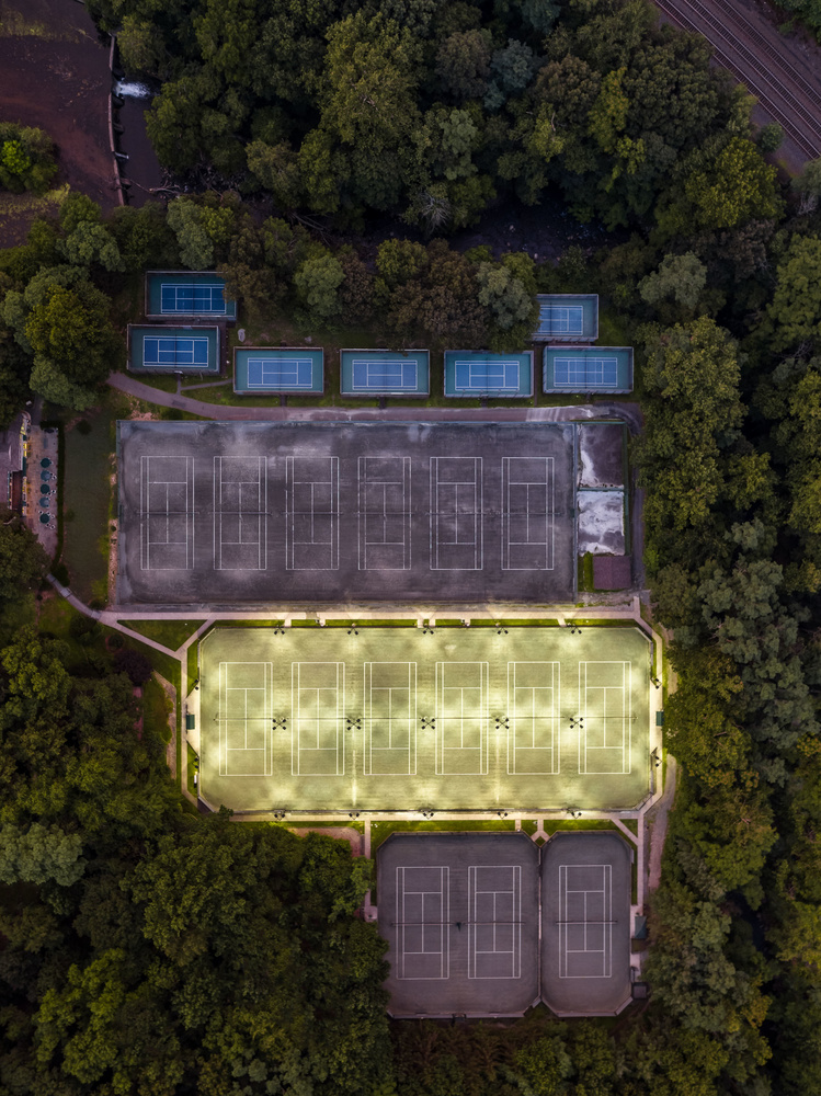


I think it is so interesting to see the world from this straight-down perspective. For some reason, I am addicted to shooting this way on my drone and I still don't think I will stop creating images like this anytime soon. I love to experiment with new ideas and locations when I shoot, but it is always so important to be able to find a place that I feel will look even better from my drone. It may be easy for some people to think that I just take a quick browse and say I'm going here. However, it is a lot more than that.
Sometimes I catch myself spending between 10 minutes to over an hour just browsing through different spots that I think would actually work and I gaze back up the time thinking about how long I've just spent looking for a place to go. I can assure you that all the time I have put into sitting in front of Google Maps has been completely worth it for me because it makes me feel like I am bringing a photo to life. On Google Maps, you can see and compose a pretty nice aerial shot, but when you go out to that location, take your drone up, shoot it, edit it, and get it to look the way you want, you should then be able to achieve a pretty big smile while sitting in front of your computer.


Though the resolution isn't amazing when looking on Maps, it still gives you a full look of the area and a better idea of what you plan on shooting. Whether I am traveling or just looking for a location near by to go and shoot, for commercial work or personal work, I will use this same process every time. I know that this is one of the most simple things, but it has also the most important process when it comes to my aerial photography. I myself will continue to use this method to find some more hidden gems around me and also when I finally get a chance to travel (that will be soon enough). So for all of you photographers out there, use simple resources like this to help you out. You can live in the most boring place in the world, but that shouldn't stop you from creating work you can always enjoy.


This is an incredible idea! Great work!