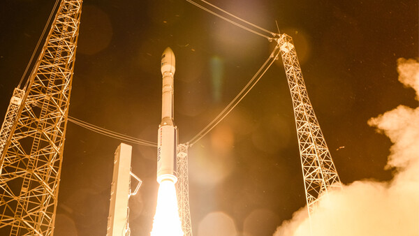
Last year, the European Space Agency launched the Sentinel-2A, a terrestrial observation satellite that specialized in operations such as natural disaster management, forest monitoring, pollution management, and agricultural practices. They've just released an incredible cloud-free photographic mosaic of the Africa, offering a striking view of the continent.
I love space photography. Whether the cameras are pointed deeper into the universe or back at our mortal coil, the results that come from giving some incredibly intelligent people state of the art technology hundreds of miles above our heads are always remarkable. Of course, one of the problems with satellite photography is clouds, particularly when part of the continent being imaged is tropical. Doing so required the use of almost 7,000 images captured over 5 months, creating an incredible 32 TB of data. The results speak for themselves:
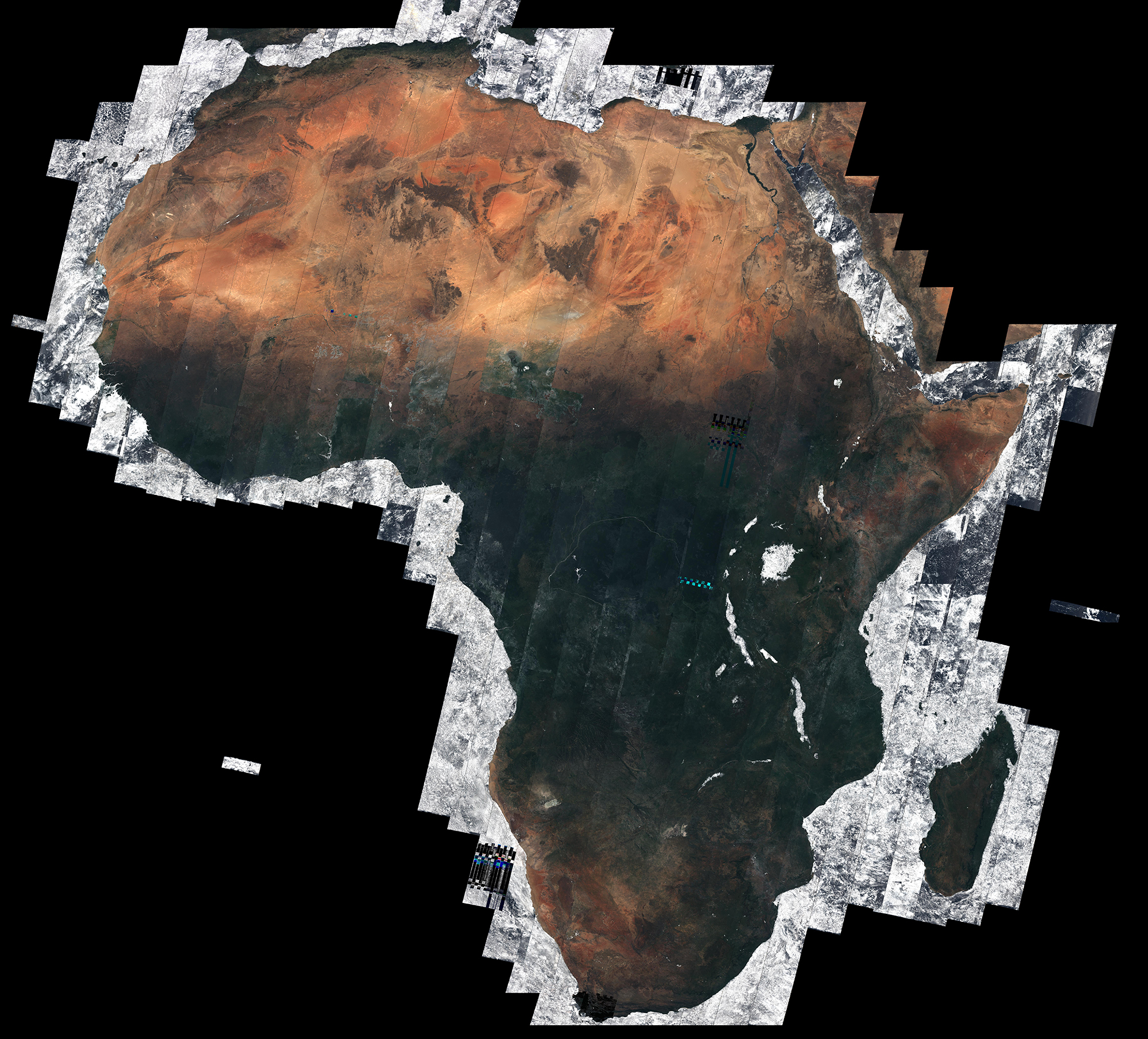
The mosaic was presented at the Living Planet Symposium in Prague as part of the ESA’s Climate Change Initiative Land Cover project. The Sentinel-2B satellite will be launched in 2017 and will orbit opposite the Sentinel-2A. Their 290-km wide imaging paths and ability to cover the entire planet's mainlands, islands, and non-open ocean waters every five days will increase the agency's ability to obtain cloud-free images in the future.
All images by European Space Agency, Africa mosaic processed by Brockmann Consult/Université catholique de Louvain.
[via ESA]
3 Comments
Oh I love satellite images... Ok ok, I'm biased, since I work with satellite data all day long but still they are amazing. Recently we got ahold of the data of the new Japanese geostationary satellite and the images are awesome, with stunning detail and resolution
Here's a sample image, even without the atmospheric correction (the colors are not 100% accurate) it still beautiful.
https://upload.wikimedia.org/wikipedia/commons/c/ce/Himawari_8_Full_Dis…
Wow, that's absolutely gorgeous!
Pretty cool, but 2.1MB Jpeg isn't "HI-RES"! o_O