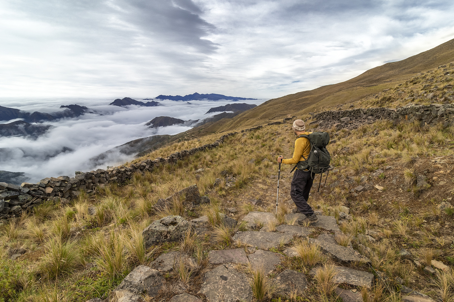
Part of the Inca Road System (Qhapaq Ñan) is found near the town of Santa Ana (Argentina). At 3,400 meters above sea level, you can look down and see the clouds. You can connect two towns by car or on foot and see the transition from the Yungas (cloud forest) to Puna (grassland) as you go higher.
I mounted the camera on a tripod and took three images to merge them in HDR.
Canon 80D. 10 mm · f/8 · ISO 100
Contest Submissions
Click on the thumbnails below to comment and rate each image.
Click here to learn about the Fstoppers rating system and what each star value means.