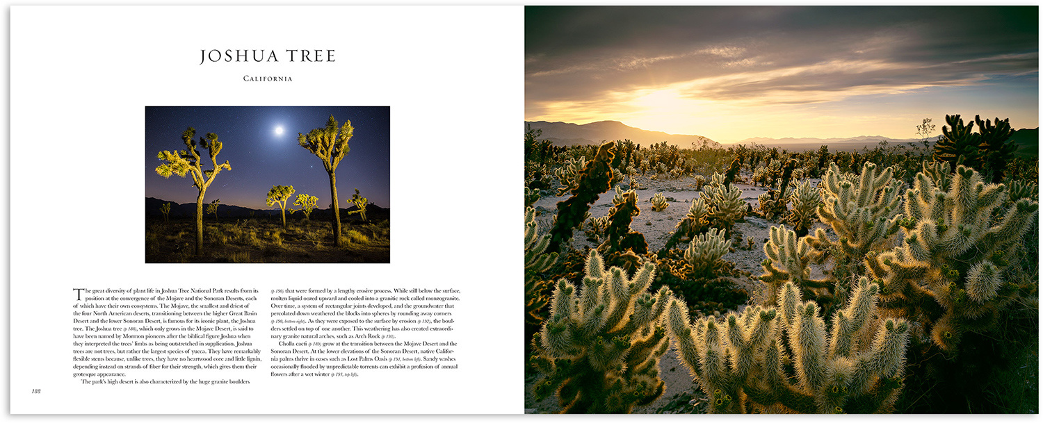
In 2002, QT Luong became the first person to photograph all U.S. National Parks with a large-format camera. His experience in traveling these beautiful, natural lands is simply inspiring. He was even a featured artist in the epic Ken Burns documentary, “The National Parks: America’s Best Idea.” With all his knowledge and stories gained from decades of creating stunning imagery across the United States, I feel fortunate that Luong authored his photography book, “Treasured Lands.”
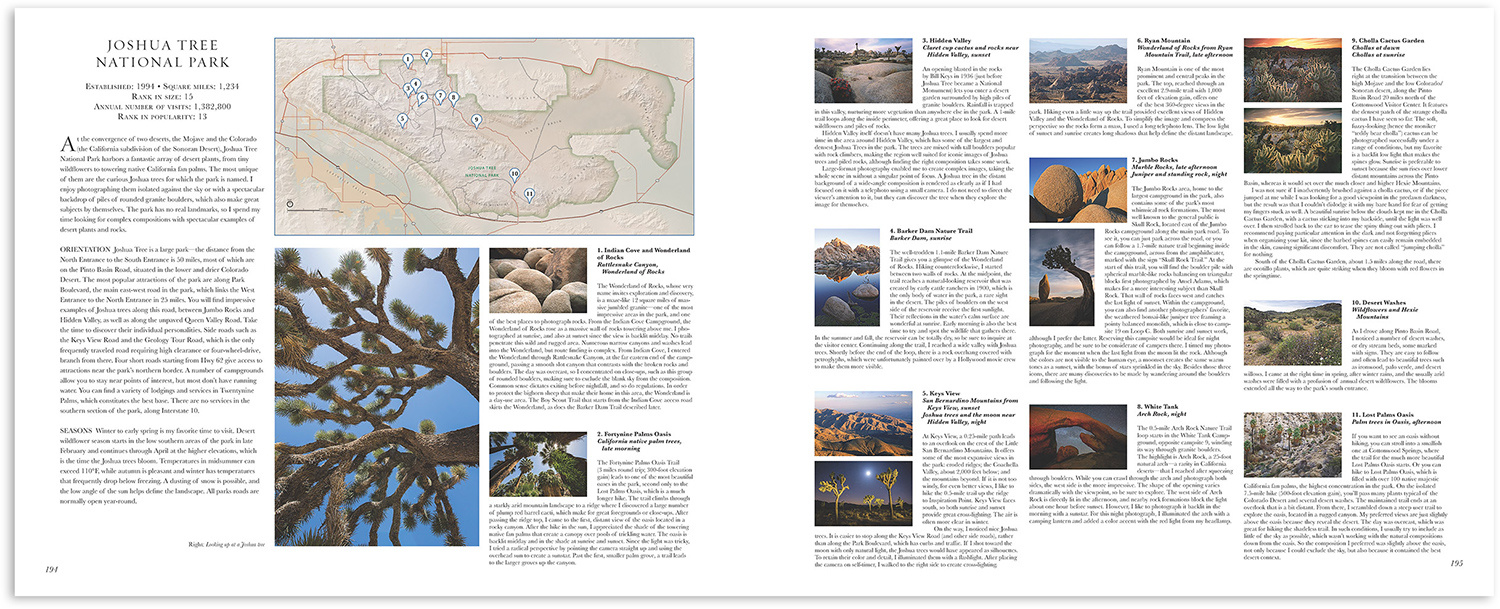
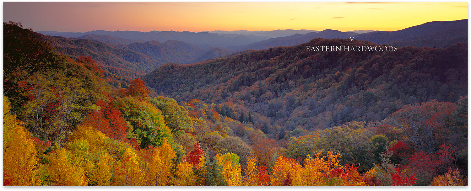
The 456-page book categorizes all 59 national parks based on region: Pacific coast and mountains, Colorado plateau, deserts, Rockies and prairie, eastern hardwoods, Alaska, and tropics. Each park’s chapter begins with a few paragraphs of unique facts and attributes that make the park a special place. Listed next are the park’s establishment date, total square miles, rank in size, annual visitor count, and its rank in popularity. Following that is an orientation section that details how to access the park and navigational routes and tips for traversing around the interior. In the seasons section, Luong identifies the changes that occur depending on the time of the year and how it can affect navigating the park.
The park maps include numbered markers which correspond to key photogenic points inside the park and are detailed alongside Luong’s images taken at the marker. One thing I love about the marked locations is that Luong gives a clear, complete picture of the setting. He describes where it’s located, what you can expect at different times of the year, his recommendations on the best light or things to consider in a composition, and any other necessary precautions he might have learned the hard way from experience. As a photographer or videographer, the advantages of this book over reading a regular tourist travel guide is obvious. It’s really fantastic and fills your head with creative ideas even before you step foot in the park.
I’ve spent some time now writing purely about the informational content of “Treasured Lands,” but I do not want to minimize the incredible photographic talent of Luong as expressed in these pages. His images are perfect companion pieces to the detailed information because they truly inspire wanderlust. The style is straightforward and organic, and makes me believe that what I see is what I’d get if I were standing there. As a photographer, I know that’s really far from the truth, that to photograph and process images in such a way that removes the artist requires incredible skill. Some visual artists enjoy being able to transform a location to fit with their mind’s eye and want themselves to be bluntly seen in the final work, but with Luong’s art I always feel like nature is the one telling me the story. It's remarkable the way he is able to do this so well, and is something I've strived for in my own work.
The book compiles an impressive range of information and photo inspiration that one simply isn’t going to pick up on by looking at Google Earth or learn without spending a lot of time checking out multiple research sources and probably visiting once or twice. For photographers, I’d also recommend getting the e-book version which has zoomable maps, linked navigation to get around sections of the book faster, larger marker photographs, and can be easily accessed while traveling versus carrying around a coffee table book.
The “Treasured Lands” coffee table book can be purchased now from Amazon for $32.33. Once you own the physical book, the DRM-free e-book PDF can be purchased for just $5 from the “Treasured Lands” online store. A standalone purchase of only the e-book is $30.


Damn you Ryan!! I just found my grandparents old National Parks book (they traveled a lo). This will be great right next to it. Thanks!
I was intrigued by this book when I heard QT Luong interviewed on Ugo Cei's TTIM podcast. I didn't realise it was only 30 bucks! That's a steal!